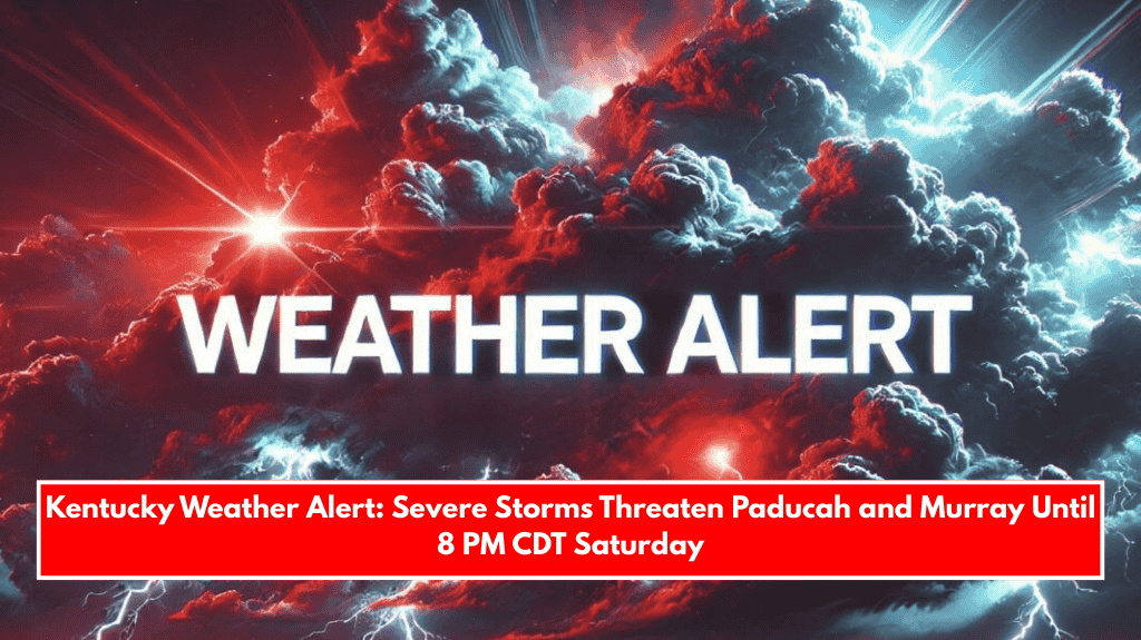
Paducah, KY – A severe thunderstorm risk is forecast for western Kentucky this afternoon through early evening, with the highest threat lasting until 8 p.m. CDT Saturday.
Paducah, Murray, and Mayfield are advised to prepare for severe weather during this time.

According to the National Weather Service in Paducah, the region’s greatest risk of severe weather is between 2 and 8 PM CDT, particularly in the Kentucky Purchase area and southern Pennyrile.
Brief tornadoes, wind gusts greater than 60 mph, and large hail are the most serious threats.
The most critical window in Paducah and surrounding areas is expected from 4 to 6 p.m. CDT, then shifting eastward to Murray and Hopkinsville from 6 to 8 pm.

The areas north and east of this corridor, such as Owensboro and Bowling Green, are relatively safe.
Residents are encouraged to stay weather-aware, secure outdoor items, and have several ways to receive emergency alerts. Stay inside during warnings and relocate to a safe location away from windows.
This storm risk represents a significant departure from recent calm spring conditions, reminding residents in western Kentucky of the season’s volatility. Additional updates will be provided as conditions change.